From model to defensible map.
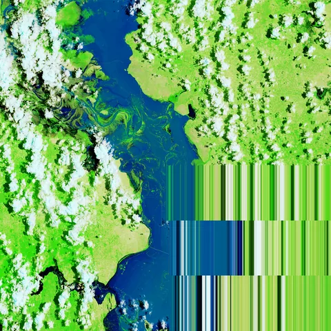
Machine learning for Earth observation that ends where real projects end: a map, an accuracy assessment, and class areas with 95% confidence intervals. Four live sessions, all in your browser.
- Time4 × 2.5 hLive on Zoom, about 70% hands-on, all recorded
- SetupNo installGoogle Colab and Earth Engine, in your browser
- StackPyTorch + Earth EngineSTAC, xarray, TorchGeo, TerraTorch, scikit-learn
- OutcomeYour own areaA one-page evidence pack for your area and method
Training a model is the easy part. Defending the map is the job.
A model can score 95% on a random split and still produce a map a reviewer won't accept. Most courses stop at the score. This one ends with the evidence.
Accuracy from a proper sample
Land-cover and forest-change maps end with a stratified accuracy assessment (Olofsson et al. 2014 and the 2025 good-practice protocol): an error matrix in area proportions, user's and producer's accuracy, and areas with 95% confidence intervals. The reference sample is labelled independently from imagery, never from the map.
Honest splits for choosing models
Random pixel splits put near-identical neighbours in both train and test, so scores look better than the map is. You'll measure that gap on real data and choose models with spatial cross-validation. Map accuracy itself comes from the probability sample, not from cross-validation.
Built for operational review
The work behind geospatial evidence for EUDR due diligence, activity data for MRV, flood extent for insurance, and the validation sections of ESA and Horizon Europe deliverables.

Four sessions, one complete workflow
Tuesdays and Thursdays, 16:00–18:30 CET. Each session builds on the last, with case studies from Mediterranean tree cover, farmland, forest loss and floods.
The data choices that decide your map
- Sentinel-2 and Sentinel-1 as model inputs: terrain-corrected (RTC) vs standard GRD radar, and why the values differ
- Cloud-masking and compositing policies, and how each one shifts the final map
- Forest by definition: FAO criteria vs WorldCover tree cover, and the 31 Dec 2020 EUDR baseline
You leave withA documented image stack for your own area, and the choices behind it.
Land-cover classification that survives review
- Weak training labels from WorldCover and Dynamic World, and a reference sample labelled independently from imagery
- Random vs spatial (kNNDM) cross-validation, and where the model is valid at all (area of applicability)
- Stratified accuracy assessment and error-adjusted areas with 95% CI, following the 2025 good-practice protocol
You leave withA map, its error matrix and area estimates you can report.

Change and floods: testing on what the model never saw
- Forest loss since 2020: a change map, a change/buffer/stable sample, and the loss area with a 95% CI
- SAR flood mapping: a U-Net vs a simple threshold baseline, with permanent-water and terrain masks
- Testing on unseen flood events: where models fail, and why
You leave withA forest-loss estimate you can report, and an honest read of where the flood model fails.

Embeddings, few labels and your evidence pack
- Google's Satellite Embedding dataset (AlphaEarth Foundations) and open TESSERA embeddings vs a random forest, with 50 labels over 20 random draws
- Fine-tuning a foundation model (TerraMind with TerraTorch): a live demo
- Capstone clinic: a one-page evidence pack for your own area
You leave withAn evidence pack and a tested plan for your next mapping project.
What you get
- Six Colab notebooks to keep, in a private repository
- Recordings of every session within 24 hours
- An evidence-pack template (map, error matrix, area CIs, limitations) to reuse with clients
- Written feedback on your capstone plan
- 30 days of Q&A in the cohort channel
- Certificate of completion
Who it is for
GIS and remote sensing analysts moving into machine learning, data scientists moving into Earth observation, researchers, and consultants working on EUDR, MRV or ESG.
You needWorking Python (pandas, numpy), basic remote sensing, and a Google account. About an hour of self-paced pre-work (setup and datacube basics) arrives a week before the start. No deep-learning experience needed.
Not forComplete Python beginners, or anyone looking for ML theory. This course is about making maps that hold up.
Reserve a seat
A small cohort, so everyone gets feedback. Prices include VAT; EU businesses with a VAT number are invoiced without it.
- One seatAll four sessions, recordings, notebooks and capstone feedback. Incl. VAT; invoice available for your organisation.€199€249 from 21 OctReserve a seat
- TeamsThree seats on one invoice (15% off), or in-house training for up to 15 people on your dates, from €3,500.from €509€635 from 21 OctAsk about teams
Based in the Philippines or Southeast Asia? Ask for the partner rate
Not for you after session 1? Full refund · Full refund up to 7 days before the start · Runs with 6 or more participants, or you choose a refund or the next cohort
When are the sessions?
Tuesday 3, Thursday 5, Tuesday 10 and Thursday 12 November 2026, 16:00–18:30 CET. Every session is recorded and shared within 24 hours.
What if I miss a session?
Watch the recording, run the notebook, and bring questions to the cohort channel. It stays open for 30 days after the last session.
Do I need a GPU or any installation?
No. Everything runs in Google Colab in your browser. The hands-on labs run on Colab's free tier; foundation-model fine-tuning is shown as a live demo.
Do I have to pay for Earth Engine?
Not for the course. Noncommercial projects get a free monthly quota, the labs are designed to use a fraction of it, and the pre-work walks you through registering one. If you use Earth Engine for client or company work, Google requires a commercial licence.
Will the course make my maps EUDR-compliant?
No course can do that. You'll learn to produce and document geospatial evidence with known accuracy, which a due-diligence process can use. This is training, not legal or compliance advice.
Can my company pay?
Yes. Checkout issues an invoice in your organisation's name. EU businesses with a VAT number are invoiced without VAT (reverse charge).
What if the cohort does not fill?
The cohort runs with at least 6 participants. If it doesn't, you choose a full refund or a seat in the next cohort.
What is the refund policy?
Full refund up to 7 days before the first session. If session 1 isn't what you need, tell us within 48 hours and get a full refund. After that, you can transfer to the next cohort.